

Delineating tree crowns using unmanned aerial imagery
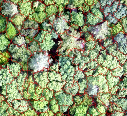
Delineating tree crowns using unmanned aerial imagery
Finding is important for precision forestry, natural resource management
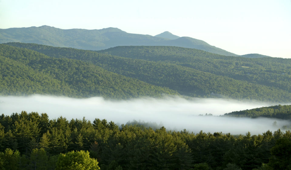
DURHAM, N.H. — In a new study, University of New Hampshire researchers have concluded that when assessing forest imagery collected by unmanned aerial systems, an alternative method of delineating individual forest tree crowns within those images is more accurate than the most commonly used method, the canopy height model. The research is important to New Hampshire landowners and forest managers as mapping and monitoring forests is a key component of managing natural resources.
(courtesy photo)